It may happen that some images do not have GPS coordinates. However, if you can easily identify a few points, or if some images have them, PicaGeoTag can help you position them.
In the following example, some images do not have GPS coordinates, but they are surrounded by images that do.
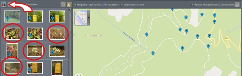
First, make sure your images are sorted by date (top left button). Then select a set of images including those that do not have GPS coordinates.
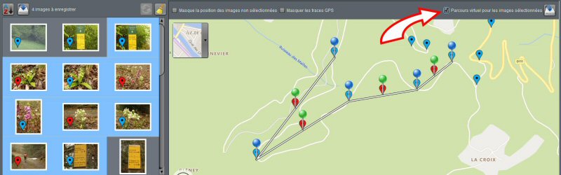
Then check the “Virtual track” box at the top right.
PicaGeoTag will then create a virtual route using the images with GPS coordinates and position the other images on this path using the times of each photo. You can then adjust the position of your images. The path will adapt to follow your adjustments.
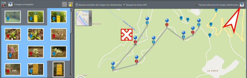
All you have to do is save your changes.
If you wish, the resulting track can also be saved as a GPX file (button at the top right).
Recent Comments