The left part of PicaGeoTag has two tabs that allow to display either the images or the detail of the GPS traces.
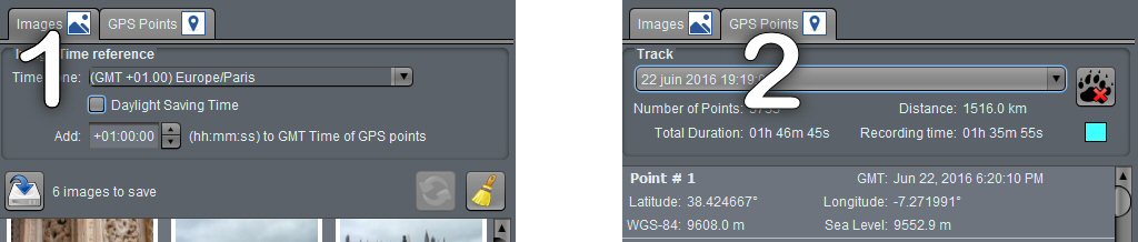
 Image Tab
This is the main tab. It allows to carry out all the operations on the images and in particular:
- Adjustment of the time offset between image and track points dates.
- Save location in EXIF data for all images or frame by frame.
- Reset location data globally or frame by frame.
 Read More
 GPS Tracks Tab
This tab allows you to manage GPS tracks and view points.
Recent Comments